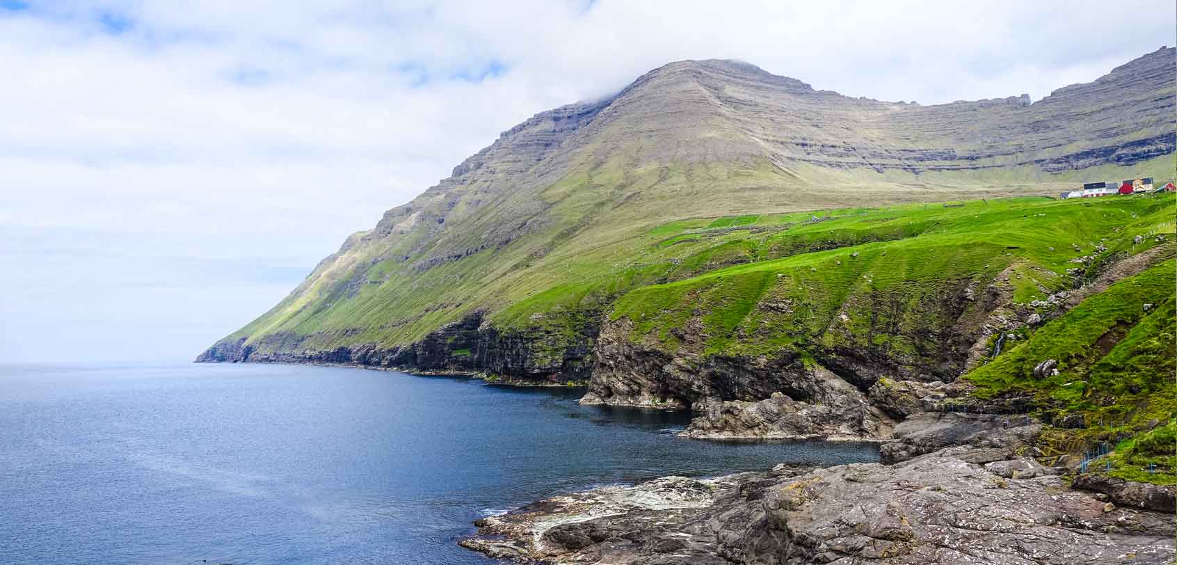
The Faroe Islands is a hiker’s dream paradise given all of its majestic natural beauty that comprises steep cliffs, grand mountains, and unspoiled terrains. (Villingardalsfjall Hike)
Then again… it doesn’t even matter if you’re not into hikes because these islands have enough Instagram-worthy views to fill up your vacation desires and dreams (if not urge you to try at least a mild to moderate trail as a beginner). For one thing, I’m not a seasoned hiker myself, nor am I a ‘fit’ person; but with the glorious sceneries of the Faroes, I just knew that I had to try at least one hike — after all, most of the best places in these islands can be reached by taking on a hike.
And so, I ended up hiking the mountain of Villingardalsfjall, the 3rd largest in the entire Faroese archipelago, and well… it turned out to be one of the most difficult hikes that I have ever done!
Newsflash: I’m terribly afraid of heights and the Villingardalsfjall hike is not only high but ridiculously steep. And yet, I still went (I have this half-bad-half-good habit of facing my fears); therefore, what followed afterward were moments in the trail where my knees were shaking or where I felt like one step would instantly make me fall off.
Truth be told, I almost gave up too! However, I am SO glad that I pushed on (and that my companion helped inspire me to push on) because this Villingardalsfjall hike also turned out to be one of the most spectacular experiences that I have ever had!
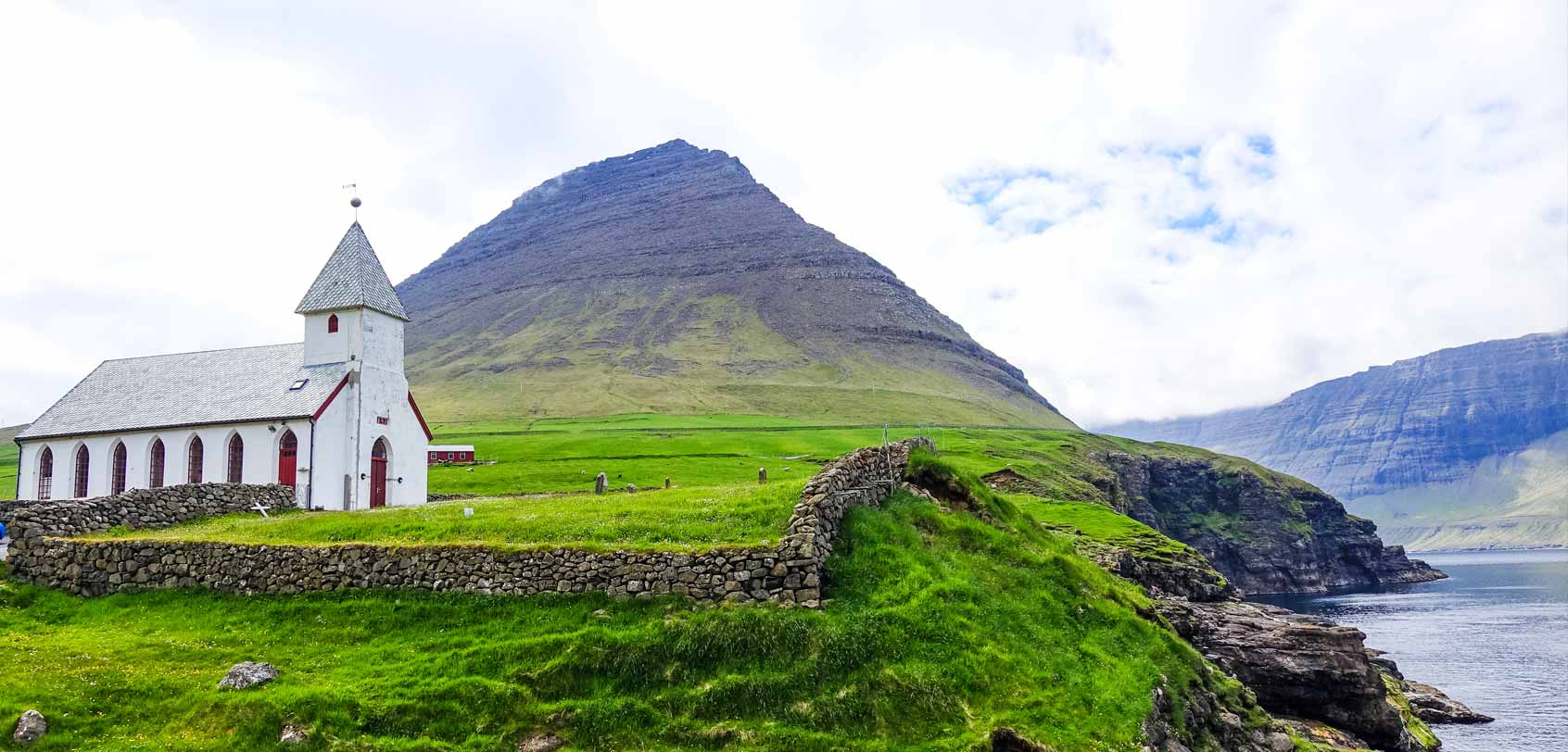
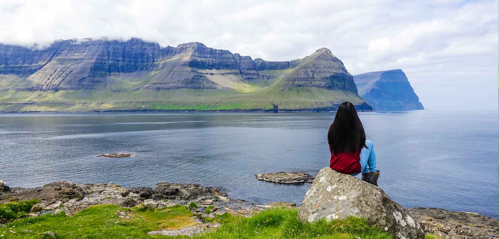
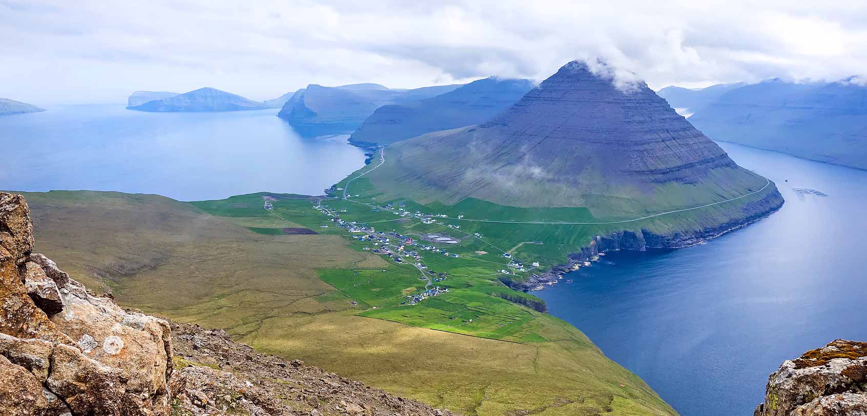
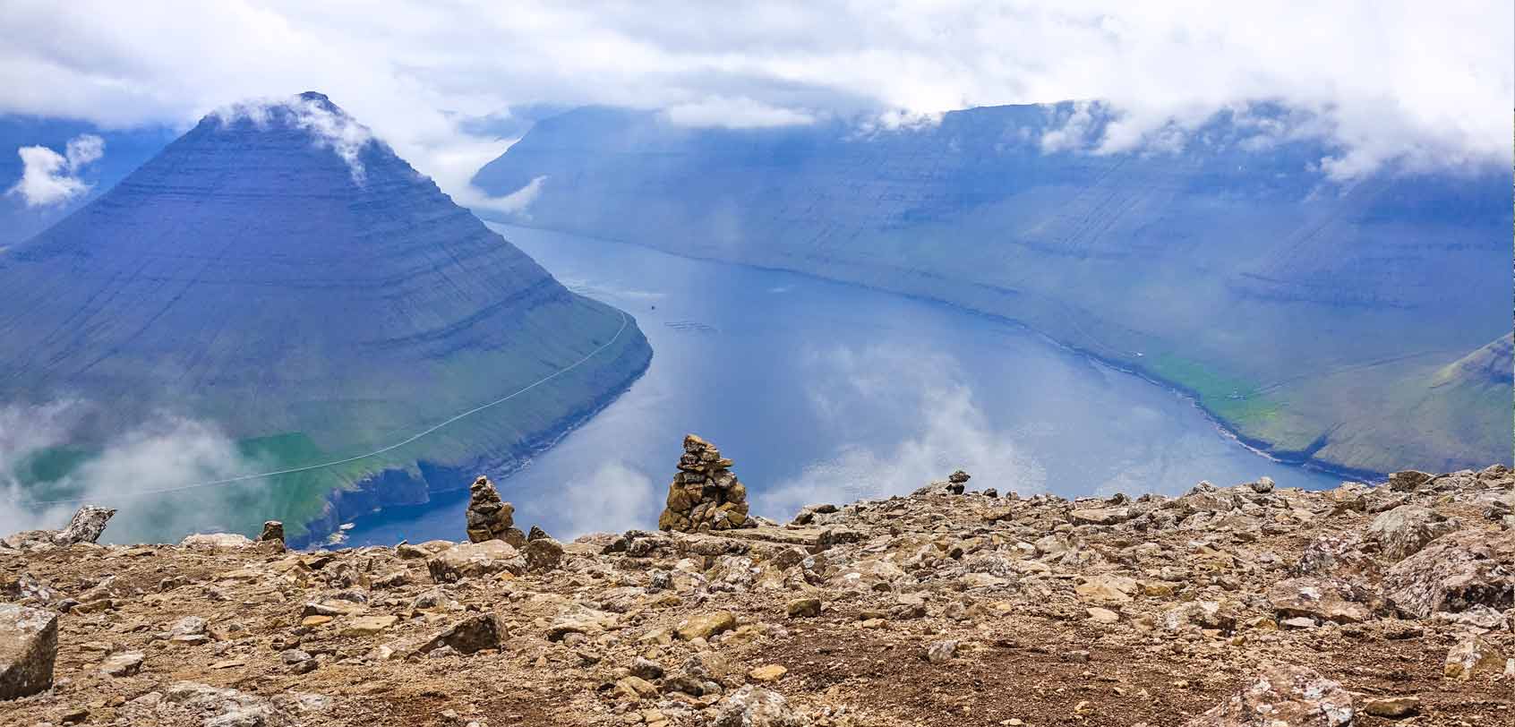
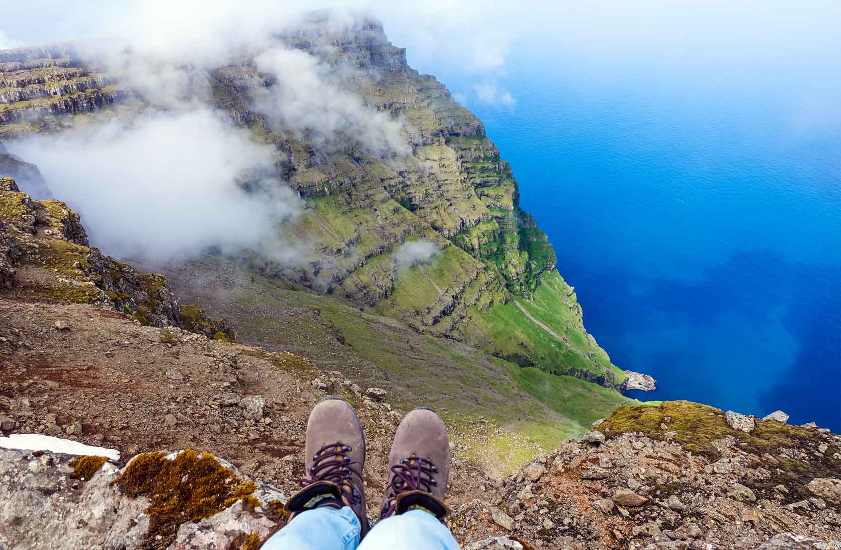
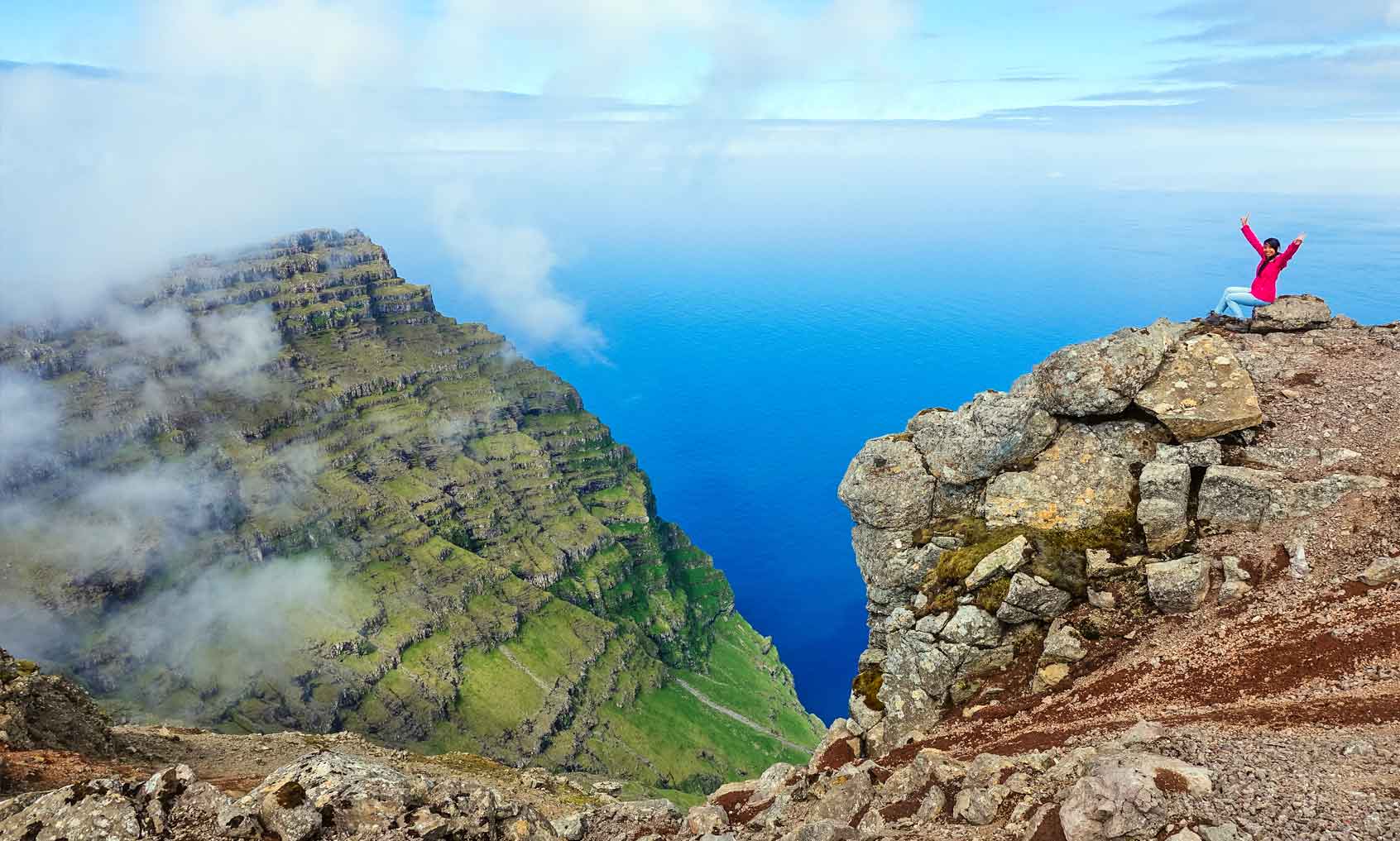
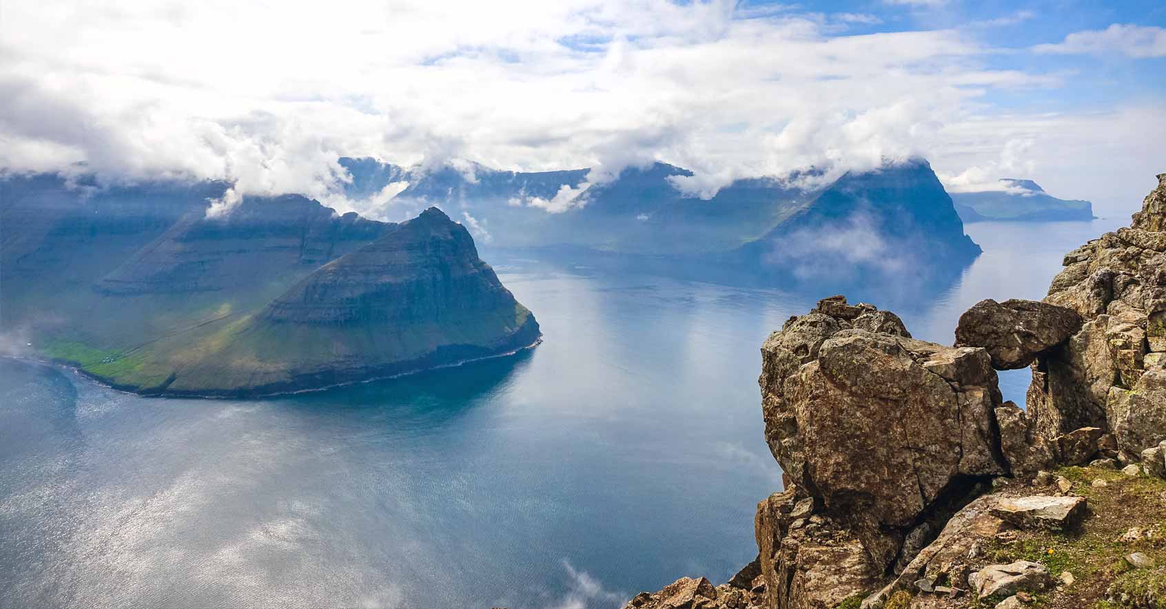
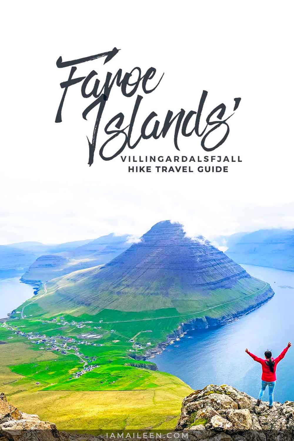
Just look at the photos above and below… with superb views like these, I think you’d want to try out this hike as well!
» READ: Faroe Islands Itinerary
Villingardalsfjall Hike
Location
Villingardalsfjall is located in Viðoy which is the northern-most island in the Faroe Islands. If you’re coming from the main city of Tórshavn by car, just set your GPS to go for the route towards the gorgeous ancient settlement of Viðareiði in order to reach the start of the hiking trail. (It took us around 1.5 hours to reach Viðareiði from Tórshavn).
What to Bring
Clothing: Make sure to wear comfortable and proper hiking shoes; and of course, depending on the weather and the season, make sure that you’re well-clothed. We hiked up this trail during the last week of June which is basically the summer season of the Faroe Islands — but be advised, the islands don’t have a very sunny climate at all. In fact, summers are cool with an average temperature of 13°C (whereas winters are mild, with an average temperature of 3°C).
At that time, we weren’t clothed thick. We just wore hiking pants, sweaters, and light waterproof hiking jackets (which we didn’t wear as much starting the middle part of our climb because as hiking goes, we started to perspire; still and the same, bring it along because the top can get chilly and it could rain too!). You can bring walking sticks if you want to, but we managed fine without such.
Food & water: We didn’t bring much food in our backpacks. We just made sure we had enough snacks to munch on during the 4-hour hike. As a standard, you should eat a snack every hour and that you should frequently drink water as you go. A liter of water should be enough per person; but in actuality, we drank less than this during our hike so if you don’t want too much unnecessary weight, 1 liter for 2 people should be enough.
Villingardalsfjall Hike Details
• Duration: About 3-4 hours
• Distance: About 6 kilometers
• Difficulty: Moderate. The hike up is fairly difficult, and in the last part of the trail, there are many rocks and a steep cliff (take caution as there can be loose stones).
• Maximum height: 841 meters
• Children: Not suitable for small children under 7-8 years old
• Surface: The first section is mostly a grass trail, followed by a path of stones and rocks
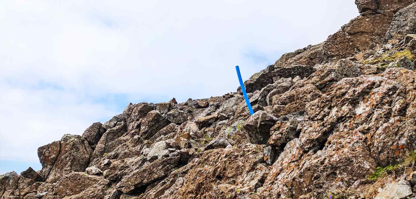
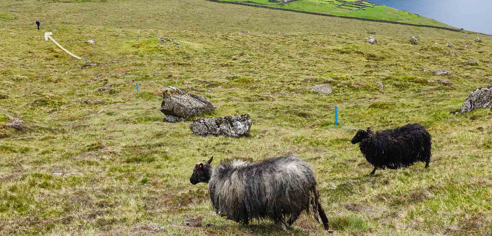
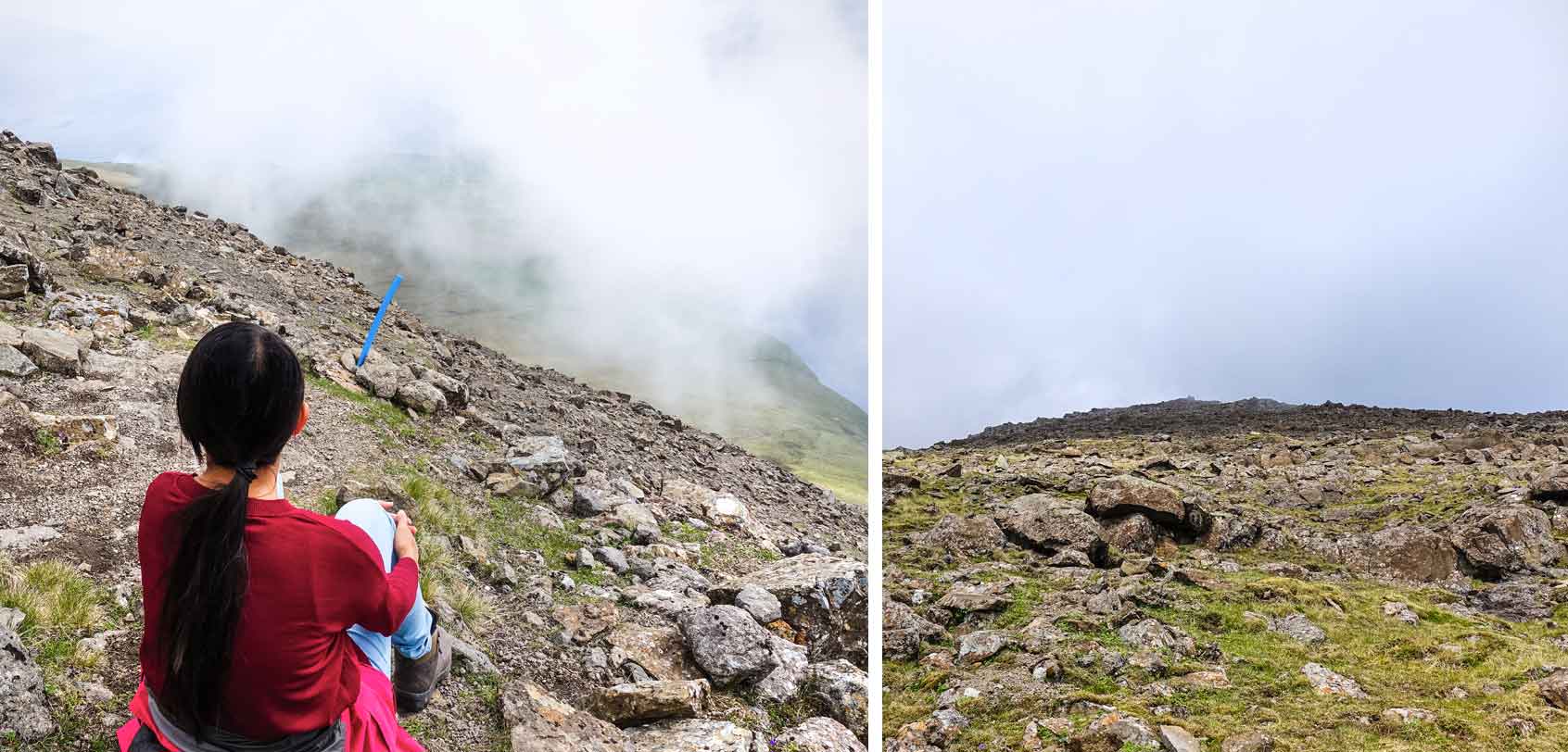
• Trail Mark/Guide: Simply follow the blue plastic tubes that stick out of the ground (as seen below)
My Hiking Experience
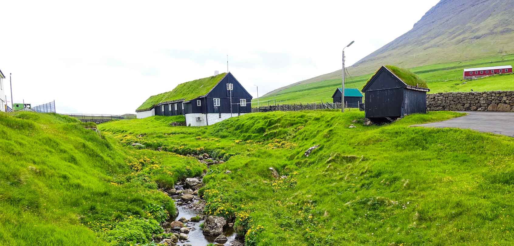
Viðareiði was a charming little town with only a few hundred people. They have one small grocery store, one restaurant (Matstova), and one hotel where you could eat as well (Hotel Norð).
TRIVIA: One of the Faroe Islands’ finest poets and scholars, Christian Matras (1900-1988), was born here in Viðareiði. He was particularly known for his naturalistic poetry.
Before looking for the starting point of our Villingardalsfjall hike, we first took our sweet time exploring — which didn’t take much time because of the size of the town.
Anyhow, you should definitely make sure that you go by the old Viðareiði Church because the area around here grants you majestic views of the surrounding fjall (mountains) and islands!
– – –
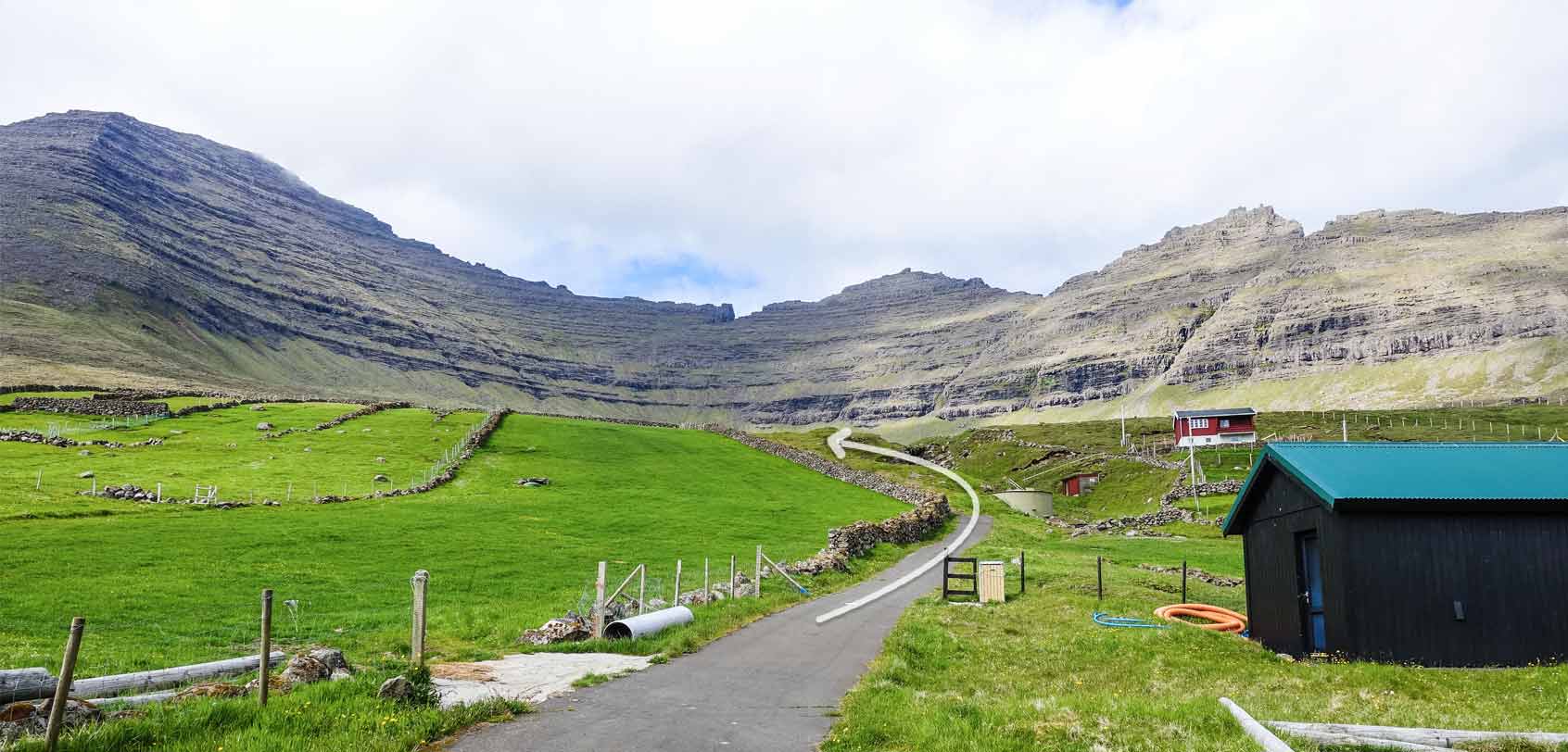
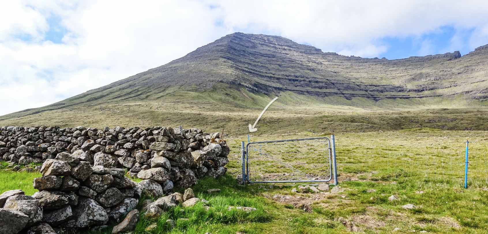
So the start of the trail is at a spot called Við Garð. Just head straight up to the end of the road (towards the direction of the Villingardalsfjall hike) and you will see an outfield that looks like the below. Go straight down this path until you reach a gate.
You’ll know you’re on the right track once you start to see the blue plastic tubes sticking out of the ground, signifying the start of the hiking trail.
As we started our hike, I looked up at this Villingardalsfjall hike and foolishly assumed that I can actually climb it up without much difficulty — I was wrong of course, and I blame my warped sense of altitude and distance for that.
You see, at a normal hiking spree, 6 kilometers isn’t that tough on a newbie like me, but elevate that at a steep angle of a mountain that rises at almost 900 meters then naturally… it will turn out to be quite a task (and it was)!
Nevertheless, I made up my mind to carry on especially since on the way up, it gradually gave me better views of the neighboring islands of Fugloy and Svínoy to the east — and then, of course, the iconic Malinsfjall to the south that backdrops the settlement of Viðareiði!
Around the middle part of the hike, I even started to see some formation of stones and rocks which made for a great spot to take an epic shot of Viðareiði and the Malinsfjall mountain (as seen in the cover photo of this article).
It was magnificently surreal!
At this point, it helps to note that I felt like giving up — the mountain was starting to get very steep. I was exhausted. Plus, the rocks just seemed like a very good resting spot, haha.
However, when I saw how my friend was more than willing to proceed and reach the top, I told myself that I should too! Besides… I already made it that far and it would be such a waste to give up halfway, right?
…It also helped motivate me to go on when we saw this young guy who was insanely more fit than us. I say this because even if he started at a later time than we did on this hike, he passed us by so swiftly that I couldn’t help but relate him to a goat… A compliment, because I badly wanted to be like him and the goats around us — they surely made climbing look so easy! (And maybe that’s why it frustrated me a bit, urging me to continue my hike. Nuh-uh, I ain’t gonna lose to a young one… though technically, I was already losing.)
“It must be nice to be young and fit,” I often whispered to my friend whenever we see the guy ascending higher and higher at such a fast pace.
Around 100 vertical meters left to the top, the trail started to get rocky and we came to a small plateau that had pointed stones and several cairns (a human-made pile or stack of stones). We noticed that these cairns go to the left or northwest direction and we found out that those lead to the steep cliff of Enniberg (a fabulous view that we will see later on at the top).
The Faroese often refer to Enniberg, at 754 meters, as the highest promontory* in Europe (or the world) that faces the open sea.
*Promontory: a raised mass of land that projects into a lowland or a body of water.
You can follow these cairns BUT it is highly recommended to visit Enniberg together with local guides since the place is difficult to access and is also easy to get lost. And so, to reach the top of the Villingardalsfjall hike, ignore these cairns and continue to follow the blue tubes.
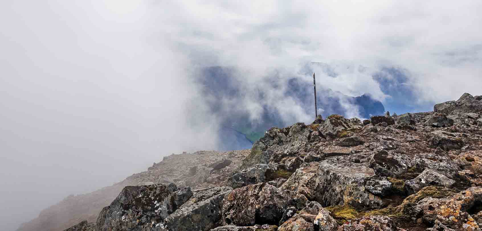
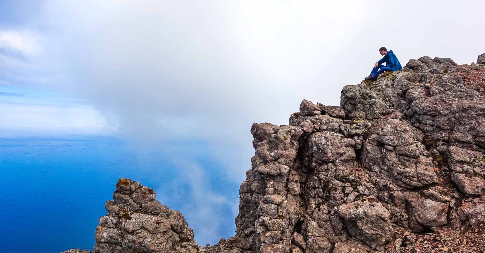
After a few minutes, we saw a cairn with a rod that marks Torratindur, which is the top of Villingardalsfjall hike — and we also saw the amazing Goat Man sitting at one of the rocks, admiring the view. We waved hello at him.
We then learned that he was from Germany and that he was backpacking across the Scandinavian countries. He ended up on this island by riding a ferry and he was planning to proceed to Iceland after his stay in the Faroes. Hearing this, it’s clear that he is on an amazing adventure!
After a bit more chit-chat with him — that didn’t last too long — we had to say our goodbyes (he was up there for quite a while after all, us being slowpokes and all, lol).
NOTE: Also, we didn’t manage to ask, but we think that he actually went up this mountain with a female companion because they arrived together at the start of the trail. At the earlier part of the hike, we saw amazing Goat Man pacing himself so that he can wait for her — but then he eventually went ahead of her (and us).
..
We felt a bit bad for the gal because she seemingly had a tougher time climbing up (compared to us), given how she was making far too many frequent stops. To add, when we went down Villingardalsfjall later on, we didn’t see her anymore; she didn’t make it to the top either and she probably went together with Goat Man back down once he reached her. As I thought about that, I would have definitely ended up like her had I given up halfway — and such would have been such a shame because…
…the top of Villingardalsfjall was SPECTACULAR beyond words!
To the south, of course, is a higher view of Malinsfjall and the town of Viðareiði.
To the west, Kunoyarnakkur, the northernmost of the six mountains in Kunoy island that is taller than 800 meters; and then, of course, Enniberg.
To the north, there’s a view over the beautiful Villingardalur cliffs.
It was all so breathtaking!
Without a doubt, we took our time enjoying all these awesome views!
Of course, going back was more of a nerve-wracking experience…
Just imagine going down a steep rocky mountain wherein it almost feels like you can tumble down to the bottom at any second should you make a misstep! (Highly unlikely but hey, as someone who’s afraid of heights, I can easily imagine any illogical thing that can happen).
Aaahh… I can still vividly recall how it all looked (as if it’s still right in front of me right now!). I can also remember how I acted: often bursting into laughing fits like a madman.
Fact: I tend to laugh a lot when I’m extremely nervous or under stress.
All in all though: I have NO regrets and I’m willing to do this all over again! (But I’m also fine with it being one of my epic once-in-a-lifetime experiences *wink*).
That being said, I absolutely recommend this hike as a definite must-do when you’re visiting the Faroe Islands. It’s truly a remarkable experience that you should NOT miss out on!
Travel Tips
» Best Flight Deals to Faroe Islands
Atlantic Airways is the only airline with a scheduled service to the Faroes and it usually comes from Copenhagen, Billund, Aalborg, Bergen, and Reykjavik. Flights cannot be booked through travel websites so you’ll have to book directly on Atlantic Airways website here.
**UPDATE: As of March 2017, Scandinavian Airlines (SAS) will start having daily flights to the Faroe Islands.
» Where to Stay
The central city of Tórshavn is where you will find most of the accommodations, and it’s a strategic place to base yourself in for all your adventures around the islands. (Of course it can get cheaper if you get places outside of Torshavn, but for the best picks of all, they would be the following).
Luxury: Hotel Foroyar / Mid-Range: Hotel Hafnia or AirBnB / Budget: Kristjanshavn or AirBnB
» How to Go Around
It would be by car and it’s best that you arrange a rental online before your arrival on the islands. Rest assured, you can rent a car on the spot when you land at the airport since there are stalls there by Sixt, AVIS, HERTZ, and Unicar. Once you start driving around the Faroe Islands, be mindful of the driving conditions and rules (you can find all the details here).
Otherwise, you can take public transportation and the main inter-town bus that they have is called Bygdaleiðir (they’re easy to spot since they’re big and in the color of dark blue). To see the complete timetable of the buses, go here.
It helps to note, however, that public transportation is expensive in the Faroe Islands, so it’s best to buy a travel (multiple-ride) card beforehand with Strandfaraskip Landsins (the mother company of Bygdaleiðir) at the airport or at the main bus terminal in Torshavn. This travel card already covers busses and ferries around the islands (except to Mykines Island) and can cost 500 DKK ($70~ / Php 3,500~) for 4-days or 700 DKK ($100 / Php 4,900~) for 7 days.
» How to Get Faroese Currency
The Faroese currency is the Faroese króna (kr). It is not an independent currency, but a version of the Danish krone, hence they are equal in value. So yes, you can use your Danish notes throughout the Faroes for payment. When you leave though, make sure that you exchange any Faroese notes you may have into Danish notes (or any other foreign currency) because the Faroese notes are not acknowledged outside of Denmark.
Now, I highly advise that you do NOT exchange your money at the airport since the rates there are totally not competitive. What should you rather do? Either exchange your money or US dollars at a bank or at a money exchanger; or better yet, just withdraw from an ATM.
Rate exchange: $1 = 7~ DKK = Php 50~
» Helpful Faroese Phrases
Hello: Halló (hahloh)
Thank you: Takk fyri (Takk fi-reh) or Takk (Takk)
Yes: Ja (Ya)
No: Nei (Ney)
Goodbye: Farvæl (Far-vyel)
I’m sorry: Orsakið meg (Or-sha-kee mey)
Excuse me (getting attention): Orsaka (Or-sha-ka)
Excuse me (begging pardon): Umskylda (Um-shil-da)
How much does that cost?: Hvat kostar tað? (Kvat kost-ar tay?)
Is there someone here who speaks English?: Dugir nakar her eingilskt? (Du-cheer nak-ar her ain-gilsk?)
Help!: Hjálp! (Yolp!)
Cheers!: Skál! (Is-kol!)
• • •
Overall
There’s a boundless array of activities and sceneries that you can do when you plan to visit Denmark’s Faroe Islands and for sure, climbing up the northern beauty that is that of Villingardalsfjall is an absolute must on your itinerary!
It will not only reward you with majestic unspoiled views but also memorable tales to tell when you come back home — much like how it was for me




Thanks so much for sharing. For the Villingadalsfjall hike, where did you park. We are heading out there next year and I really can’t find much parking information for some of the hikes. I want to be as respectful as I can to the people living in the area and alot of these hikes seem to start at the end of the road in neighborhoods.
Thanks so much!
Hey Chris, indeed when I did the hike we asked the people and they told us that it’s fine to park in front of the gate (pictured above) which is just near the houses. I’m not sure if anything has changed by now, but if in doubt, the people in the neighbourhood are easy to talk to.